GIS Division Completes Informational Maps for Boston's Visitors, Residents
Mar 13, 2014
.JPG?width=250&height=333) Let's face it, even locals need a little help navigating Boston's winding streets sometimes.
Let's face it, even locals need a little help navigating Boston's winding streets sometimes.
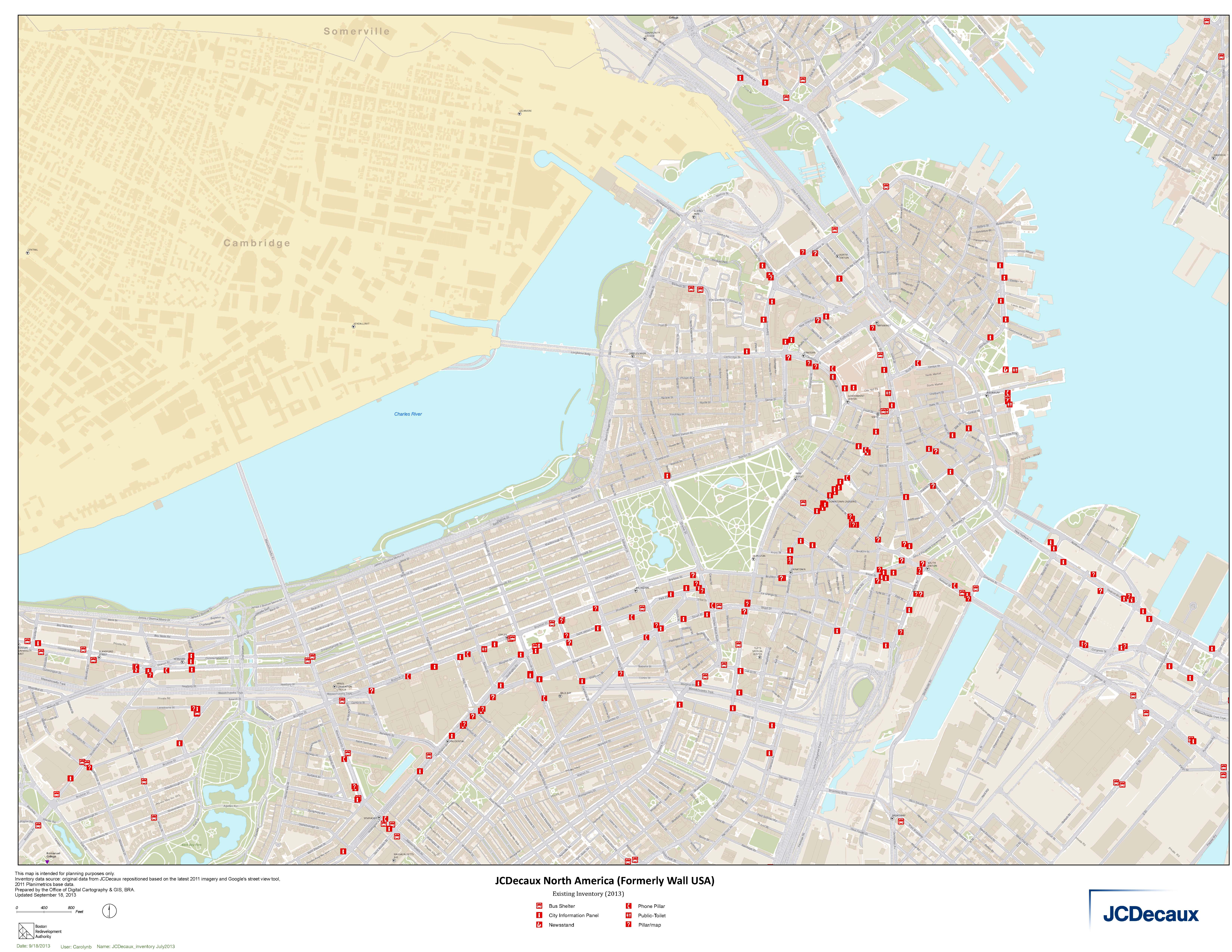
The BRA's Geographic Information Systems (GIS) Division recently completed a series of informational maps that can be seen in outdoor displays throughout Downtown, Back Bay, the Seaport, Fenway, and the Longwood Medical Area. The maps, which are displayed in JCDecaux outdoor advertising stands, include information such as key tourist destinations, hotels, hospitals, MBTA Stations, and public toilets.
The maps were previously created by JCDecaux (formerly WALL), but in 2011 it became clear that the BRA and City of Boston's GIS departments were better positioned to keep the municipal data regularly updated. The City of Boston and JCDecaux entered into a 25 year contract which ends in 2026. The BRA GIS Division will regularly update the digital maps, including adding new buildings, new roadways, and other significant changes to the City. JCDecaux will print them, add the "You are here" stickers, and post the maps.
The MBTA, Massport, Downtown Crossing BID, and Fenway Alliance among others were also collaborators on the project.
Below: A Map of Sites Where Informational Maps are Posted
Maps can be seen on phone pillars, newstands, City information panels, public toilets, and bus shelters.
