At a Glance
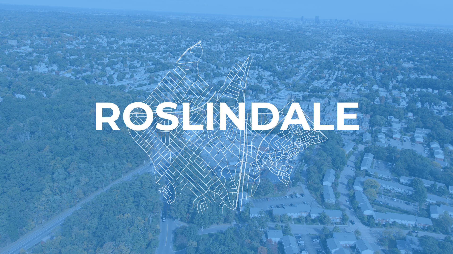
The neighborhood of Roslindale, located in southwest Boston, was a primarily agricultural area until the mid-nineteenth century. Construction of the Providence Railroad, and later the streetcar, opened the area for residential development and lead to the annexation of the town by the City of Boston as part of West Roxbury in 1873. Roslindale experienced significant residential development booms in the 1890s and late twentieth century.
Today, Roslindale is a demographically diverse and primarily residential community. The area features a mix of single family homes, Boston's traditional triple-deckers, and small apartment buildings. A number of parks dot the area, and the 265-acre Arnold Arboretum borders Roslindale to the north and offers residents substantial green space.
Roslindale Village serves as a local shopping district centered around Adams Park, while Washington Street is the main thoroughfare of the community. The first Main Streets organization in the City of Boston, Roslindale Village Main Street, supports local business owners and organizes a number of annual events to showcase the neighborhood. Since 1987, Roslindale has been served by the Needham line of the MBTA Commuter Rail, linking the area directly to Downtown.
Want to learn about and share your ideas on planning and development in your neighborhood? Email our Community Engagement team at PlanningEngagement@boston.gov to learn about upcoming engagement opportunities. For information about planning context, zoning, or Planning Department processes, please contact [email protected].